Other Services
We are also able to provide:
- Surveys for Insurance
- Photogrammetry Work
- Panoramamic work
- Orthomossaic Surveying
Drone Surveys for Insurance
The ability to quickly capture evidence from unstable and dangerous areas ensures important evidence is accurately recorded and saved and is being used both by the insurance industry and claiments, we can quickly and easily record the situation and provide the evidence for you and more importantly We will provide you with high-resolution video and or images for your exclusive use after the inspections.Photogrammetry
This is a tool used to gather and combine a large number of photographs into a single dimensionally accurate 3d model of the subject, it allows architects and similar professionals to measure dimensions and angles as well as resolving the various view lines etc. We will gather the data and provide the raw and final images along with a link to the final object for viewing and use.Orthomossaic Surveying
Unlike a regular aerial photograph that gets distorted by the perspective of the camera, an orthophoto is normalized so that it provides a purely top-down view. In an orthophoto, you can’t see the sides of buildings just the view from directly above, much like a map. Orthomosaic maps are used in a wide range of government applications and private sector industries, and the list is growing longer every day. areas covered include:- Environmental Monitoring
- Changes in vegetation
- Agricultural Surveys
- Analyzing water levels
- Site access details
- Progress photos of construction sites
- Measurements to estimate material costs
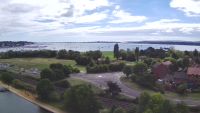
 Baiter from Poole park showing roads
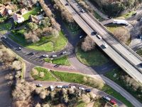
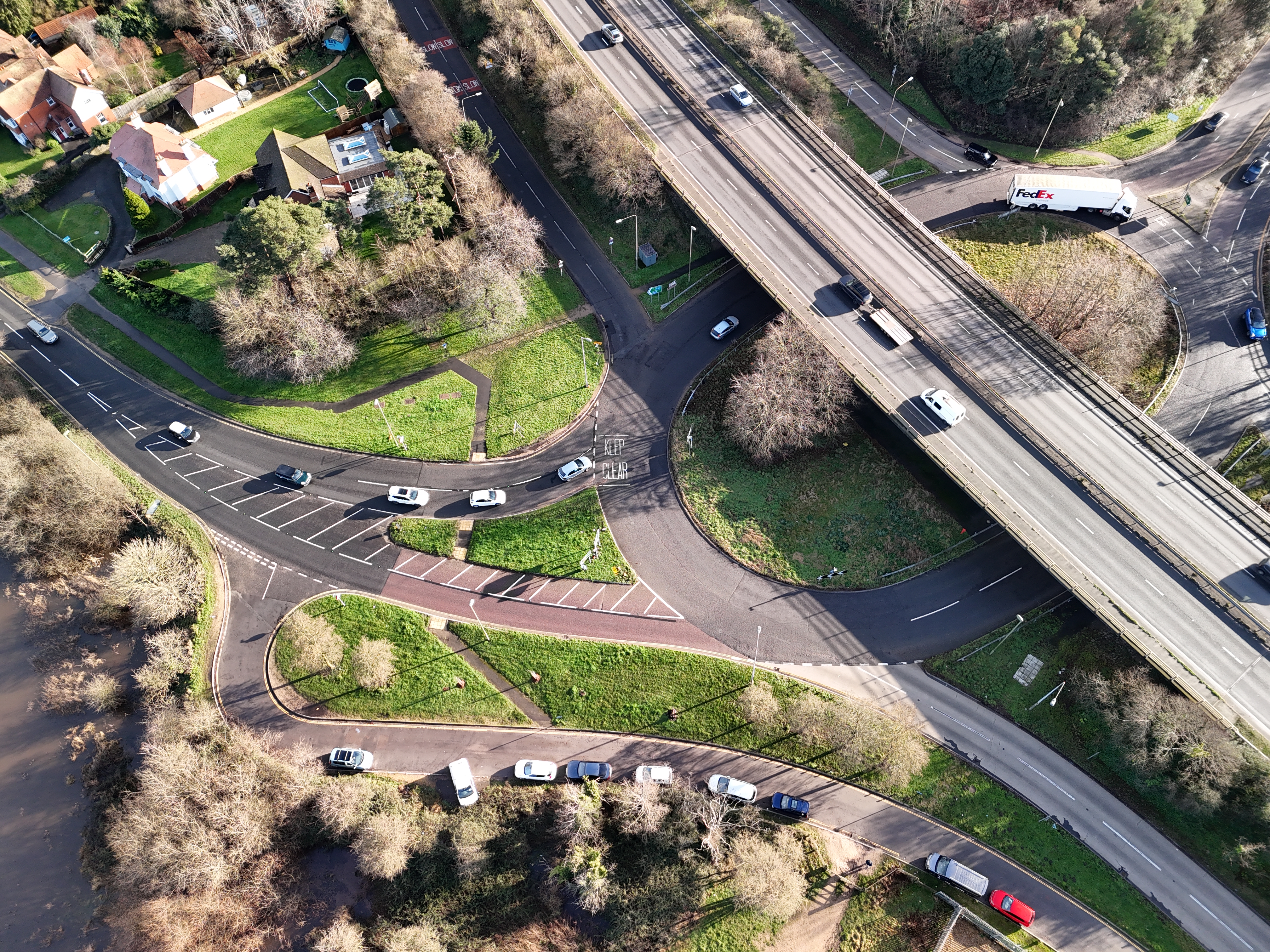 Ringwood roundabout junction of A31 and A338
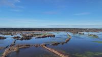
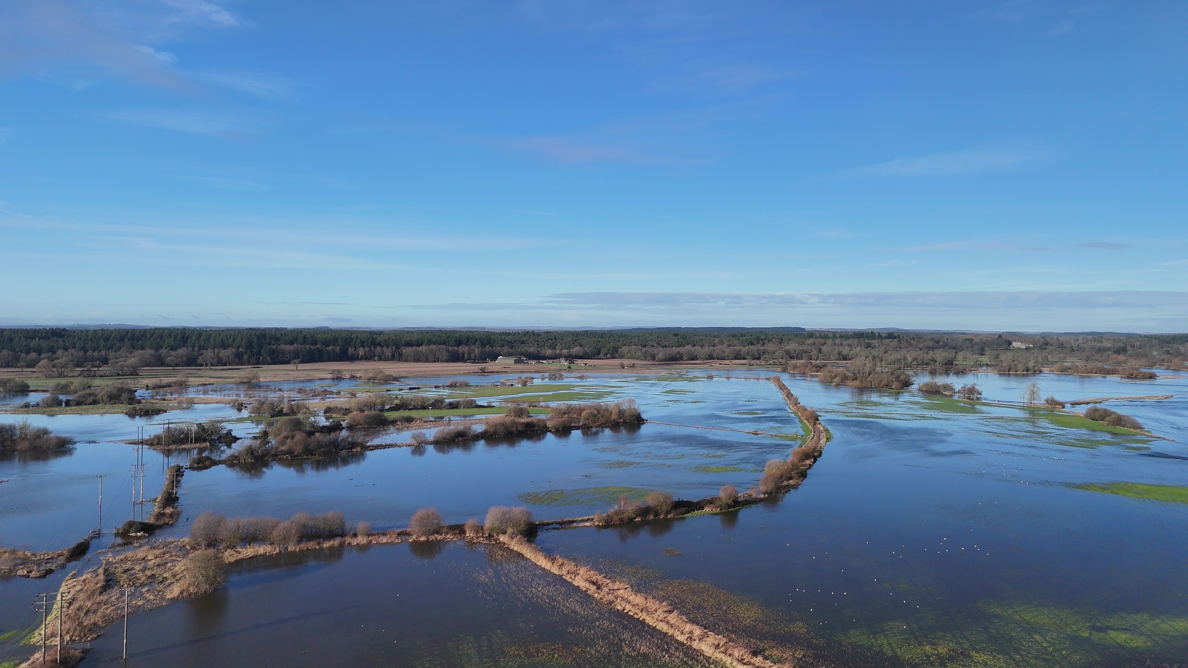 Intensive flooding January 2024